
The East Sooke Coast Trail
Ten kilometres of raw Pacific coastline — tide pools, old-growth, and one of the finest day hikes on southern Vancouver Island.
No. 1 The Route and What You're In For
The Coast Trail runs the southern edge of East Sooke Regional Park, tracing roughly ten kilometres of rugged headland between Aylard Farm on the park's eastern end and Pike Road to the west. It is not a casual stroll. The trail rises and drops constantly, threading through old-growth rainforest, scrambling over wave-battered rock shelves, and hugging cliff edges above the Strait of Juan de Fuca. On a clear day the Olympic Mountains fill the horizon to the south — snow-capped, improbably close, worth every metre of elevation gained.
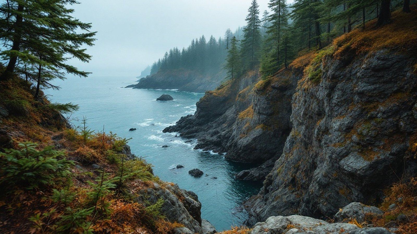
Budget four to six hours for the full through-hike, more if the tide pools slow you down (they will). The terrain is genuinely challenging: exposed roots, muddy descents, and sections where the path disappears into boulder scrambles. Solid footwear is not optional. The reward is proportional — few hikes on the island deliver this sustained a combination of forest, cliff-top exposure, and open Pacific.
Few hikes on the island deliver this sustained a combination of forest, cliff-top exposure, and open Pacific.
No. 2 Highlights Along the Way
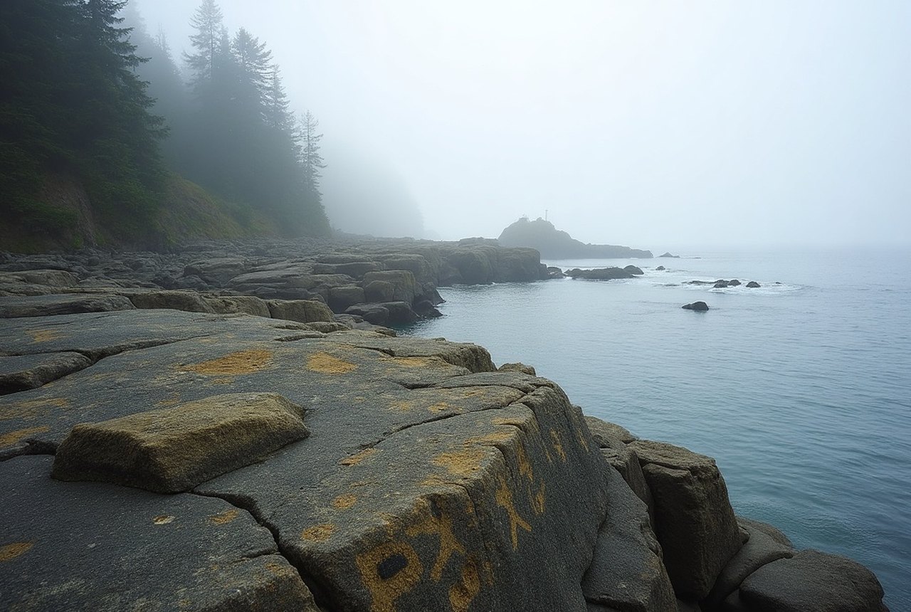
The trail passes a petroglyph site near the Aylard Farm trailhead — ancient carvings on shoreline rock, attributed to the ancestors of the T'Sou-ke Nation whose territory this coast has been for thousands of years. They are easy to miss; look for the interpretive marker and take a moment to read it before moving on.
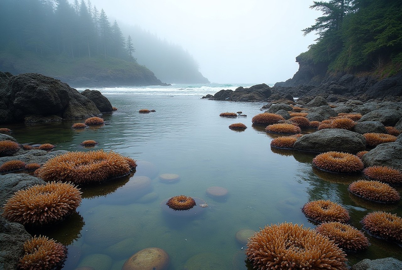
Anderson Cove, roughly midway along the route, offers a protected pocket of beach where hikers typically stop to eat and watch the water. Harbour seals haul out on the rocks nearby with complete indifference to human admirers. The intertidal zone here — as at several points along the coast trail — is exceptionally rich: chitons, sea stars, anemones, and ochre sea urchins crowd the exposed shelves at low tide. Checking a low-tide chart before you set out is genuinely useful; timing a low tide to coincide with your passage through the rockier sections opens up a different trail entirely.
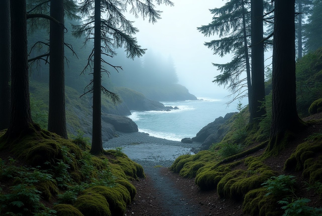
The old-growth forest stretches that punctuate the cliff-top sections are a reminder of what this entire coast once looked like — Douglas fir and Sitka spruce of considerable girth, the understorey dark and damp, the quiet abrupt after the wind off the strait.
No. 3 How to Do It
The classic approach is a through-hike with a car shuttle between the Aylard Farm trailhead (off Becher Bay Road) and the Pike Road trailhead near the park's western boundary. Walking east to west takes advantage of the Aylard Farm start, which eases you in with flat meadow and shoreline before the trail steepens. Without a shuttle, most day hikers enter at Aylard Farm and go as far as energy and time allow before turning back — the first two or three kilometres deliver a genuine taste of the trail's character without committing to the full distance.
The park has no facilities along the route itself, so carry water, food, and a layer for the exposed headland sections, where the wind off Juan de Fuca can cut sharply even in summer. East Sooke Regional Park is managed by the Capital Regional District; there is no fee to enter, and the trailheads have parking areas, though both fill early on summer weekends. An early start — before nine — is the practical move, and it puts you on the cliff tops in morning light, which is reason enough.
Carry water, food and a wind layer — the exposed headlands cut sharply even in summer, and there are no facilities on the route.